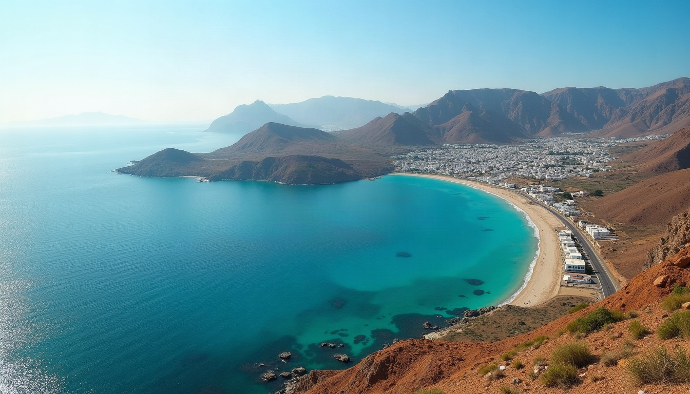
At the north-western tip of Morocco, the Tanger-Tetouan-Al Hoceima region holds a position found nowhere else on the planet: bounded to the north by the Strait of Gibraltar and the Mediterranean, to the west by the Atlantic Ocean — and facing Europe, just 14 kilometres away. That double maritime frontage, at the crossroads of two continents, is the foundation of the region’s rise as Morocco’s leading industrial and logistics hub.
Geography
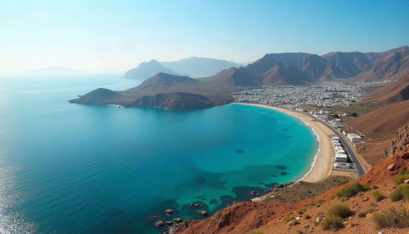
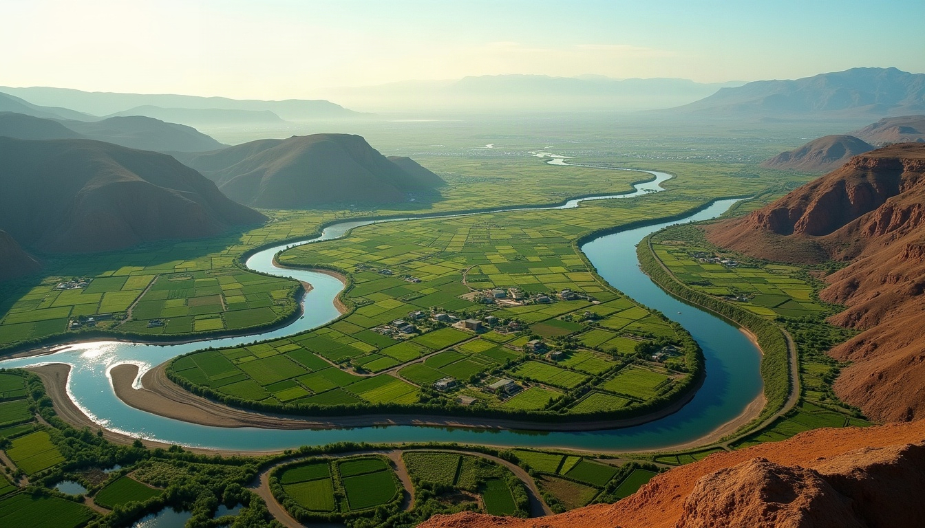
The region covers close to 17,262 km² across four natural units: the Tangier peninsula between two seas; the rugged Mediterranean coast backed by the Rif range; the Jbala highlands around Chefchaouen and Ouezzane, home to Africa’s only fir forest; and the fertile, irrigated Loukkos plain around Larache — one of the most productive farming basins in the country.
Climate and water
A Mediterranean climate tempered by the ocean brings mild, wet winters and warm, breezy summers. Rainfall — from 600 mm on the eastern coast to over 1,800 mm in the high Rif — makes this one of the best-watered regions of Morocco, feeding dams, aquifers and the irrigation networks that support export agriculture.
Four million people and growing
The 2024 national census counted 4,030,222 inhabitants, up from 3,556,729 in 2014 — annual growth of 1.26%, well above the national average, driven by job creation along the Tangier–Tetouan corridor. Two thirds of the population is urban, and the Tanger-Assilah prefecture alone grew 40% in a decade to 1.49 million people.
| Indicator | 2014 | 2024 |
|---|---|---|
| Total population | 3,556,729 | 4,030,222 |
| Urban population | 2,124,614 | 2,638,815 |
| Tanger-Assilah prefecture | 1,065,601 | 1,494,413 |
Administrative map
Since the 2015 regional reform, the region comprises two prefectures (Tanger-Assilah, M’diq-Fnideq) and six provinces (Tetouan, Fahs-Anjra, Larache, Chefchaouen, Al Hoceima, Ouezzane), with Tangier as regional capital. Each territory has a distinct investment profile — explore Tangier, Tetouan, Al Hoceima, Chefchaouen and Larache.
A gateway between two continents
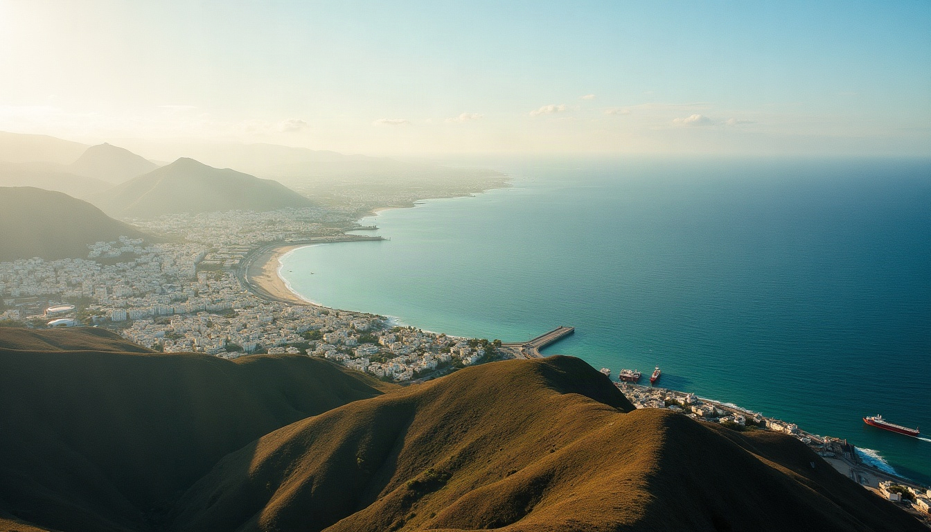
Twenty years of sustained public investment have equipped the region with assets few Mediterranean territories can match: the Tanger Med port complex — Africa’s largest —, a dense network of industrial acceleration zones, Africa’s first high-speed rail line, three international airports and a young, trainable workforce of four million.